Twelfth Session of the United Nations Global Geospatial Information Management for Africa (UN-GGIM: Africa)
Oct 19, 2026
Oct 23, 2026
Addis Ababa
Background and justification
- The Regional Committee of United Nations Global Geospatial Information Management for Africa brings together representatives of members of the Economic Commission for Africa (ECA), experts, policymakers and other interested parties to harness the transformative potential of geospatial information for sustainable development.
- Over the years, the Committee has made significant progress in establishing frameworks, policies and institutional mechanisms that support the development of geospatial information systems across the continent, helping to strengthen coordination within the African geospatial environment and contributing to global geospatial initiatives.
- Geospatial information is increasingly recognized as a critical resource for decision makers, policymakers and communities. The Regional Committee continues to promote:
- Spatial literacy and awareness;
- Interoperable and authoritative data systems;
- Innovation through partnerships and emerging technologies;
- Data-driven policies for national and regional development.
- Over the past decade, Africa has made notable progress in geospatial information management, demonstrating growing capacity and strategic engagement. The theme of the twelfth meeting,
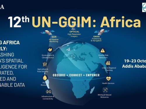
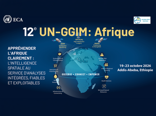
Seeing Africa clearly: advancing spatial intelligence in Africa for integrated, trusted and actionable insights
, reflects this evolution and the need to further strengthen the role of geospatial information in decision-making. - Building on the outcomes of the eleventh meeting in Accra in 2025, at which participants highlighted the importance of integration, sustainability and institutional strengthening, the twelfth meeting is aimed at accelerating progress and enhancing the contribution of geospatial information to the achievement of the continent’s development priorities.
- The meeting represents an important opportunity to strengthen collaboration between geospatial and statistical communities, promote innovation and adoption of emerging technologies, enhance policy coherence and institutional coordination and advance sustainable financing mechanisms.