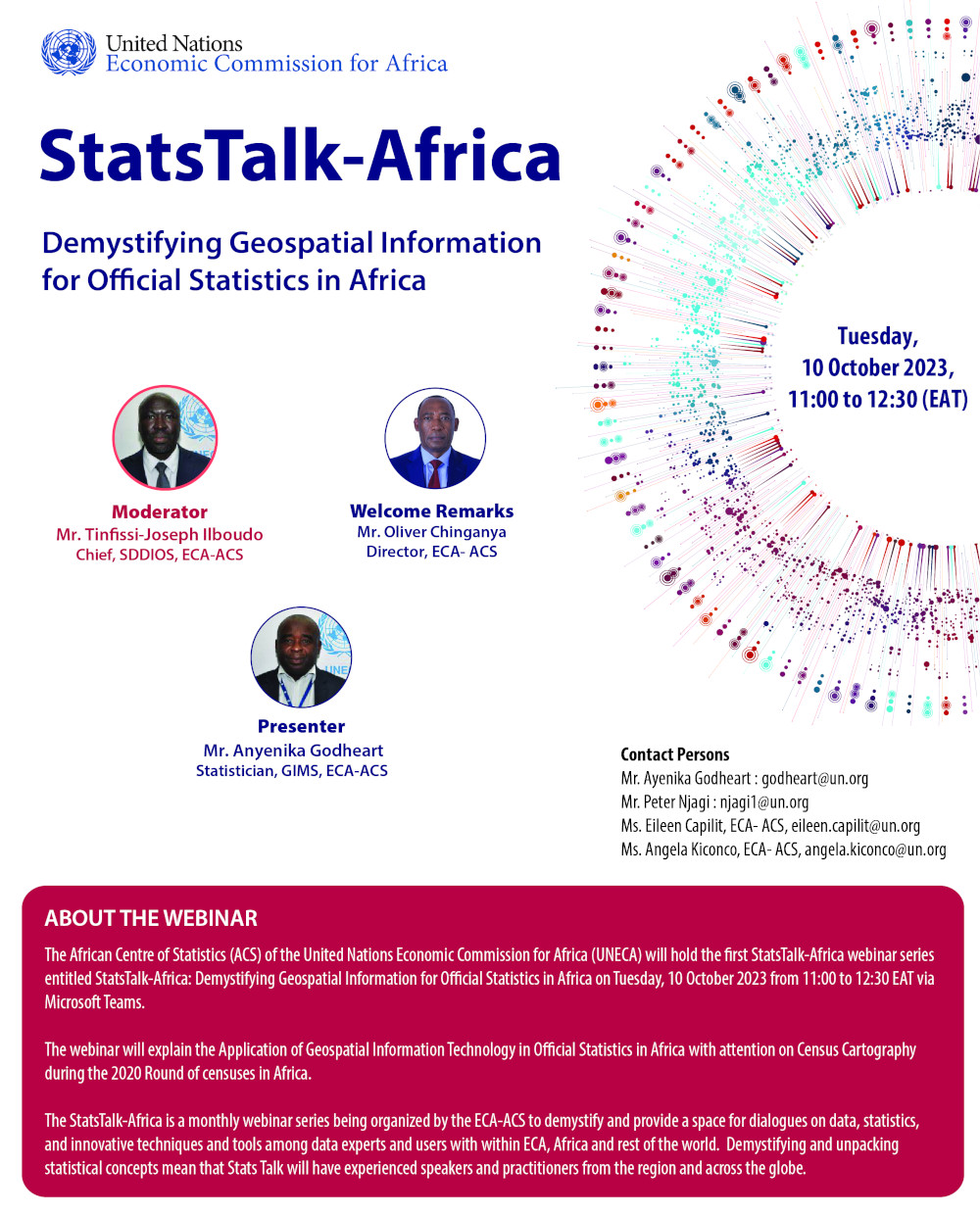
Geospatial Technology is an invaluable tool for collecting and organizing geographic data and associated characteristics which includes but not limited to physical and socio-economic phenomena. It combines the power of both Geographical Information Systems (GIS) and remote sensing tools to generate data specific to a location or geography. Furthermore, Geospatial Technology promotes interoperability of data, making it an essential tool for strategic decision making.
For many years, African Statistical Systems have been struggling to make use of location-based data in their collection, analysis, and dissemination of data. However, thanks to recent advances in geospatial technology and data science, Africa is now presented with the exciting prospect of being able to address its discrepancies in statistical data. Geospatial technology has enabled a much more efficient method of data collection from a range of sources, such as satellite imagery, mobile phones, and drones. This data can be instantly analyzed to provide meaningful insights and can be shared online in real-time with those who need it, revolutionizing the way African countries are obtaining information for decision-making. This will help create a much more accurate picture of life on the continent.
Navigating the complexities of Africa's varying socio-economic landscape without the help of geospatial technology is a bit like walking through an intricate maze without a map. As the 21st Century unfolds, the demands placed upon statistical systems require a new, dimensional approach to understanding local distributions and trends. In the advent of improved geospatial technology and data science, the possibilities have grown significantly. Satellite scans now capture atmospheric data, usage patterns from mobile devices paint a picture of living patterns, and drones provide detailed images of the most remote locations. All this data is used to generate geostatic maps that provide a much more complete and intricate understanding of the area. This helps government agencies, NGOs, researchers, and policymakers gain a valuable level of depth and dilation of perspective.
Documents
